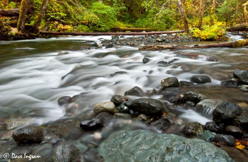
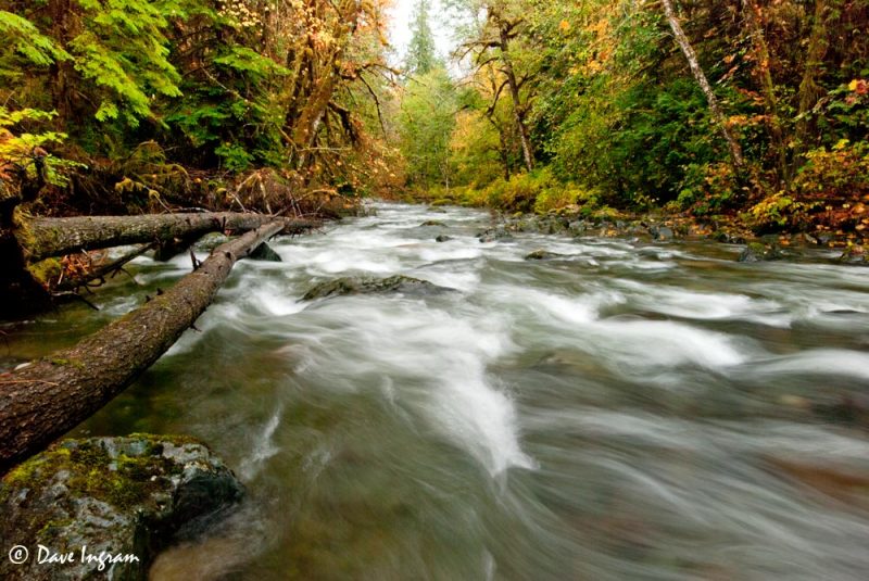
Earlier this month I had a day to myself and thought that it would be good to check out the waterfalls at Rosewall Creek. I know a couple of people who have hiked up to the falls but didn’t really have a clear idea of how long it would take and what was involved—that always put me off making the effort to walk up along Rosewall Creek.
It turns out that the walk really isn’t too onerous and doesn’t take too long to do. The walk is fairly easy (except for a bit of elevation gain in the last bit) and it takes about 45 minutes of relatively relaxed walking to get from the parking area at Rosewall Creek Provincial Park to the first set of falls.
The first section of the trail follows along the south side of the creek and then crosses over to the north side via the bridge of the old Island Highway 19A. Once you cross the creek, the trail loops under 19A and then continues under the newer Inland Island Highway on the north side of the creek.

The trail is in fairly good shape but was a bit muddy in places—I was planning to do some slow water photography so was well equipped with my good old dependable Boggs. Unfortunately, I chose to wear jeans and so, while my feet were nice and toasty warm, I was thoroughly soaked by brushing up against wet vegetation by the end of the hike. At this time of the year, it looks like little maintenance has been done on the upper trail (and most of it is technically outside of the park boundaries). Several sections were eroded by stream action (but passable) and other areas were somewhat overgrown.
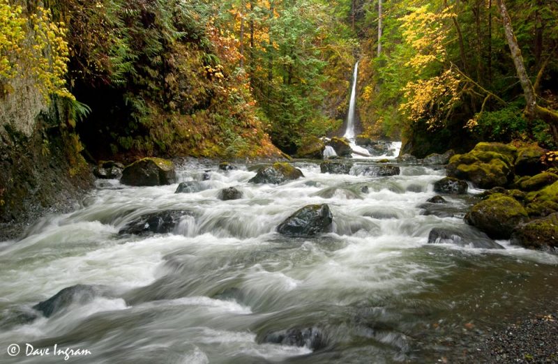
At the end of the easy stretch of trail (about 4 km) you get a good view of a tall narrow waterfall feeding directly into the main flow of the creek. Just around the corner and upstream from this point is a larger cataract and the main falls. The trail continues but gets much steeper and less well maintained.

I carried on up to the ridge and got as far as the little creek that feeds the tall waterfall in the photograph above but turned around at that point. I don’t like heights too much and with the wet muddy trail near the edge of a significant drop and light drizzle things were getting a bit too slippery for my liking. Plus I was laden with both backpack and tripod so didn’t have as much stability as I would have liked.
There were a couple of other vantage points that provided partially obscured views of the larger falls, but they were too exposed for my liking and didn’t really provide a good enough view for photography.

Rosewall Creek Falls is definitely an easy destination for hikers of all abilities. The lower viewpoint is spectacular and worth the effort. Those wanting a bit more of a challenge can push through the less well maintained to the larger falls—I’m thinking that’ll be a good idea for next summer. Keep in mind that water levels fluctuate and as we move into the winter months water levels in Rosewall Creek will be higher than in the summer. As always, exercising caution and using common sense is advised around any fast moving water.
Getting There:
Rosewall Creek Provincial Park is 30 km southeast of Courtenay and 24 km north of Qualicum Beach on Vancouver Island, British Columbia.