One often hears off-hand mentions of interesting locations that other photographers have been to: the name of a small creek, a description of an out of the way waterfall, vague directions to the location. These places are usually a little off the beaten path, but still relatively accessible and well used by locals.
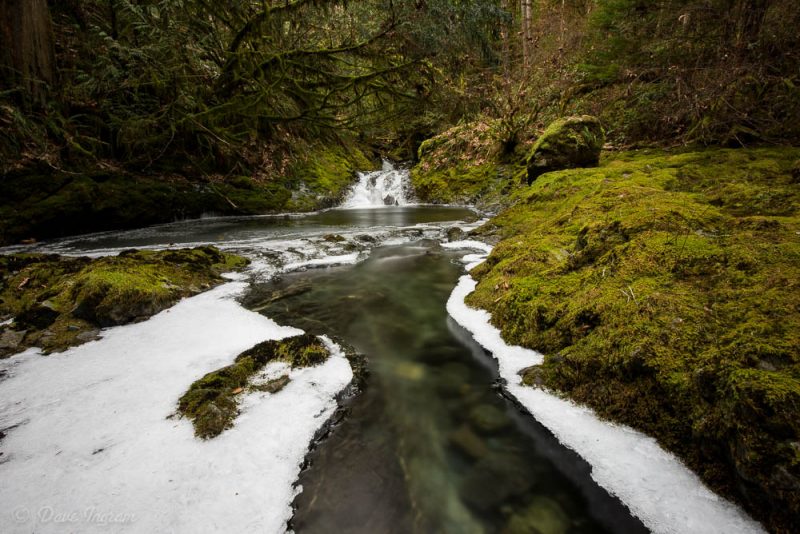
Such is the case with the waterfalls on Nile Creek on Vancouver Island. Nile Creek was recommended by a photographer in our Comox Valley Camera Club Slow Photographers SIG, so we made a group trip out to check it out last weekend.
It is possible to walk essentially from the mouth of Nile Creek, past the Nile Creek Hatchery on Charlton Road, just south of Bowser up to the waterfalls, but it is a long walk. To save time, it’s better to park at the north side of the Nile Creek bridge on the Inland Island Highway and pick up the trail there. If you’re heading northbound, the trail takes you under the bridge and continues through the forest on the north side of Nile Creek. Southbound from the Comox Valley, follow a partially overgrown gated access road until it meets the trail.
It is a hike to where the waterfalls begin, but the trail is well maintained and it passes through pleasant second growth forest. Many sections of the trail have creatively incorporated cedar rounds to keep feet mud-free. Short walkways on fallen trees are common and one long tree even has a rope handrail. There are a couple of short elevation gains, but nothing too strenuous.
About 45 minutes in, the waterfalls begin. This part of Nile Creek flows through a series of drops and pools of various sizes. Access to the creek is easy in some places and impossible in others.
The landscape is surreal. The recent cold snap on Vancouver Island rimmed the edges of slow moving water with ice. The first set of drops were covered in thick ice and while it was difficult to get a photograph of the main falls without branches in the scene, it was possible to focus on some of the smaller drops and pools.
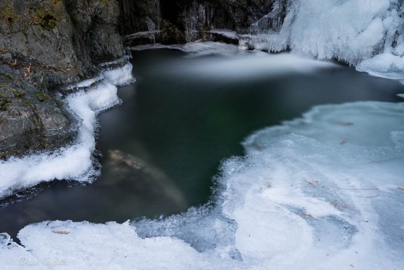
You would be forgiven for thinking that you had arrived at the main falls. However, it is worth pushing further upstream since the landscapes get better and better. The trail climbs up to the top of a ridge over looking steep drops into deep rock lined pools. I don’t like hikes much and kept well away from the edges. Further on, there is easy access down into another steep walled pool.
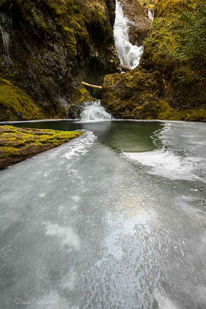
There is a shallow outflow over some rock and a dry gravel bar (at this time of the year) which gives an interesting vantage point to look upstream at a major 10 meter (??) drop and downstream towards another inaccessible drop into a deep pool. It should be possible to scramble up the far bank here to get a clean look down into the lower pool, but I didn’t try it.

The trail continues to follow Nile Creek upstream and climbs up to the top of a ridge overlooking the 10 meter waterfall before descending back down to stream level. Here, the creek flows through an interesting set of boulders and smaller rocks. There aren’t any big drops, but lots of small riffles and pools.
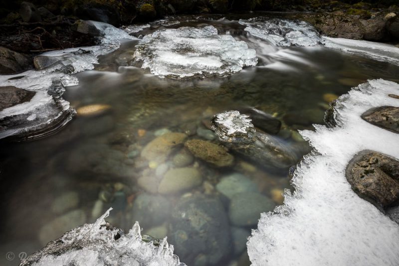
Continuing upstream, the creek is crossed by a logging road. This area of the creek seems to be well used by local youth for “bush parties” and summer swimming. It is likely drivable by vehicles with good clearance. Nile Creek drops into some nice pools this far up and the water flows through some steep walled canyons.
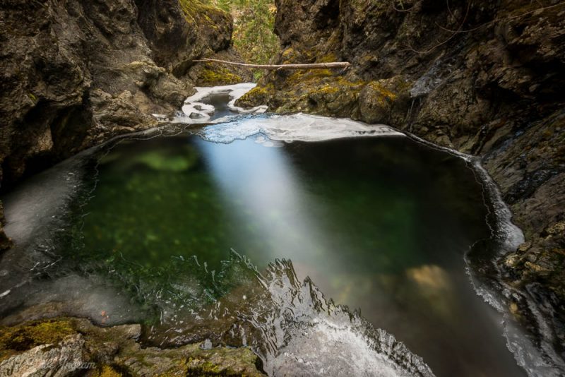
While I didn’t really get to the source of Nile Creek, I’ve been introduced to a gorgeous place to hike and photograph. The moss covered rocks and carpets of ferns will be spectacularly lush in the spring and I’m looking forward to a return visit in better weather.
Getting There:
- From the Comox Valley drive south until you pass though the Cook Creek Road exchange (note signage for Rosewall Creek Provincial Park).
- Continue south over two small bridges.
- The third bridge is Nile Creek – park on the north side of the bridge.
- Pick up the trail and follow it upstream on the north side of the creek.
- Make sure to pack some water and a snack or two—use common sense around the water and the falls.
Approximate location of the waterfalls - didn't get GPS coordinates.
Park on the north side of the bridge.
Parking area for the downstream section of Nile Creek and the salmon hatchery.